Background

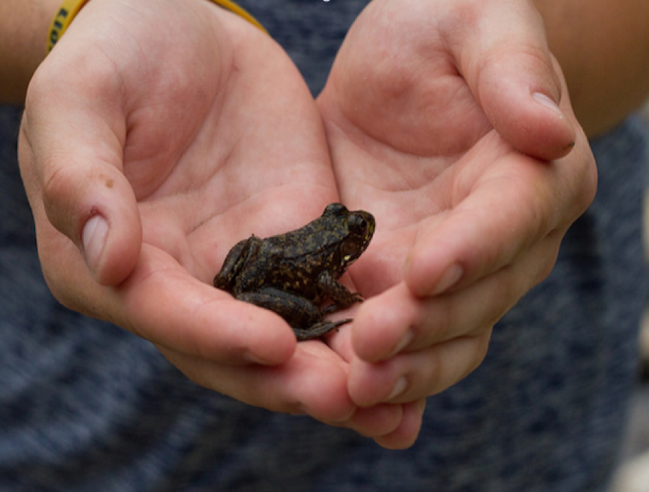
Biology
My undergraduate studies at Western University focused heavily on research
design, data analyses, and scientific writing. These skills are proving valuable
as I carry out the sceintific process for my thesis on hydrology in Iceland.
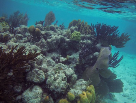
While my current research concerns the physical environment, I maintain awareness for the interactions between living and
non-living portions of the ecosystem

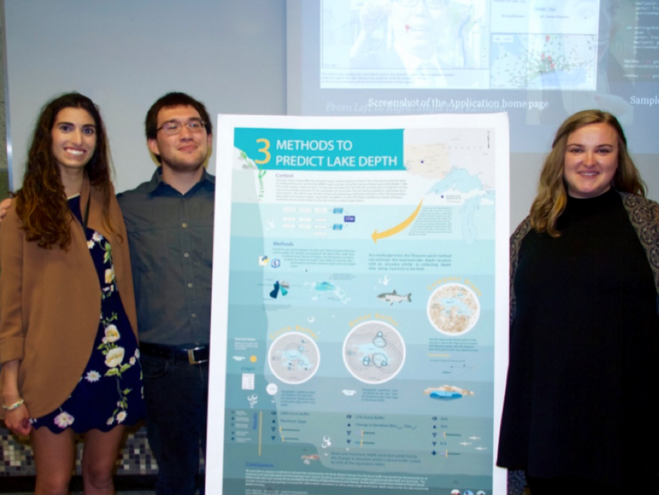
Conservation
A large part of conservation is communicating scientific
findings and engaging with the public and policy makers. Reliable research and
strong visual communication are important for credibility.
A personable attitude and experience working with my local land trust allows me
to easily connect with community members through spoken and written words.

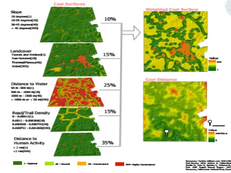
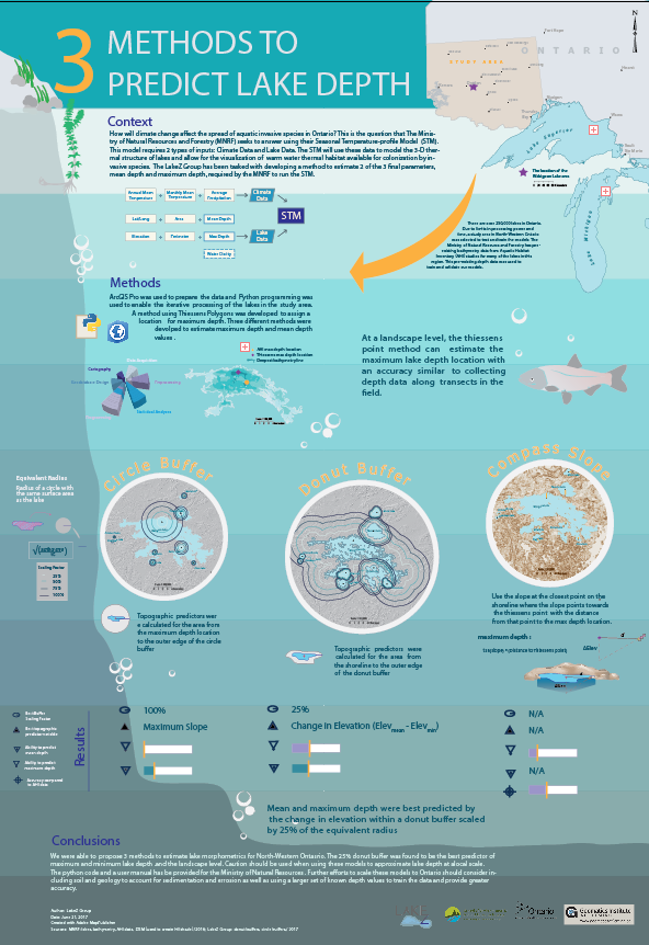
GIS
GIS (Geographic Information Systems) is a
powerful tool because it is useful for any project with spatially
distributed data. As a graduate of the GIS Application Specialist
Program at Fleming College, I can perform spatial analyses, manage databases, and create cartographically beautiful maps.
I have also worked as a land survey technician and am currently
working towards a MSc in Geography at York University